
Time zone WAT (UTC+1) Local time Wednesday 4:14 AM | Area 825 km² | |
 | ||
Weather 26°C, Wind N at 8 km/h, 11% Humidity | ||
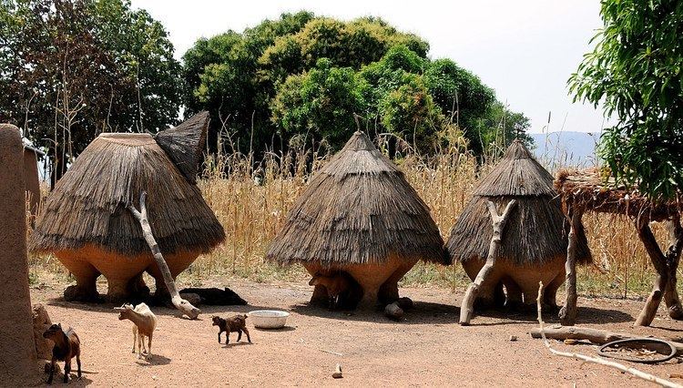
Cobly or Kobli is a town, arrondissement and commune in the Atakora Department of north-western Benin.
Contents
Map of Cobly, Benin
The commune covers an area of 825 square kilometres and as of 2002 had a population of 46,660 people.
Geography
The town of Cobly is located 645 kilometres from Cotonou and 106 kilometres from the department capital of Natitingou. Communally it is bounded to the north by Matéri, south by Boukoumbé, west by Togo and east by Tanguiéta.
Administrative divisions
Cobly is subdivided into 4 arrondissements; Cobly, Datori, Kountori and Tapoga. They contain 17 villages and 9 urban districts.
Economy
Most of the population are engaged in agricultural activities followed by trade, transportation and handicrafts. The main crops grown are sorghum, cowpeas, yams and rice.
References
Cobly Wikipedia(Text) CC BY-SA