Province Ontario Country Canada | - elevation 84 m (276 ft) - elevation 46 m (151 ft) | |
 | ||
Cobbs Lake Creek is a creek in Prescott and Russell County in eastern Ontario, Canada, which empties into the South Nation River.
Contents
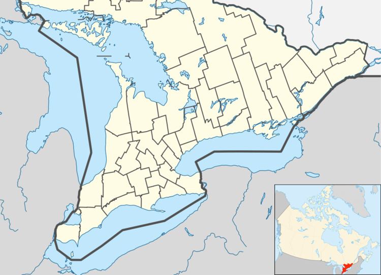
Map of Cobbs Lake Creek, Ontario, Canada
Cobbs Lake is a large shallow lake which forms around the creek during the spring thaw. Fields are found around the lake, and these fields are flooded during the early spring expanding the lake even more. This causes problems for local residents since it also floods nearby side roads. Thousands of migrating Canada geese and many dabbling ducks, such as northern shovelers and pintails, stop over in this location during the spring. The heavy clay soils of the region were deposited by the Champlain Sea, a shallow arm of the Atlantic which extended into this region at the end of the last ice age.
CourseEdit
The river begins at a field in geographic Clarence Township in the city of Clarence-Rockland and heads southwest, then turns southeast and passes under a former Canadian Pacific Railway line, today the Prescott and Russell Recreational Trail. It briefly passes through the southwest corner of geographic North Plantagenet Township in the municipality of Alfred and Plantagenet, then enters geographic South Plantagenet township in the municipality of The Nation and reaches its mouth at the South Nation River near the community of Pendleton. The South Nation River flows via the Ottawa River to the Saint Lawrence River.
