
County Clay FIPS code 18-14032 Elevation 192 m Zip code 47438 Local time Tuesday 6:08 PM | State Indiana GNIS feature ID 432712 Area 3.9 km² Population 402 (2010) | |
 | ||
Weather 11°C, Wind W at 23 km/h, 45% Humidity | ||
Coalmont is an unincorporated community and census-designated place in Lewis Township, Clay County, Indiana, United States. It is part of the Terre Haute Metropolitan Statistical Area. As of the 2010 census it had a population of 402.
Contents
Map of Coalmont, IN 47438, USA
History
A post office was established at Coalmont in 1901. Deposits of coal in the area caused the name to be selected.
Geography
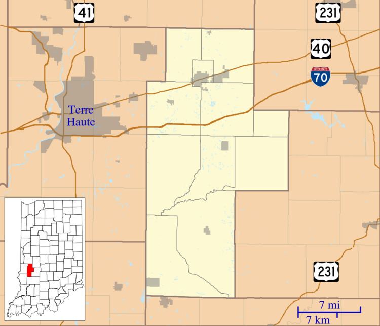
Coalmont is located in southwestern Clay County at 39°11′36″N 87°13′52″W. Its western border is the Sullivan County line. Indiana State Road 159 runs north-south through the center of the community, and IN 48 forms the southern edge of the CDP. Shakamak State Park is directly to the south. Jasonville is 3.4 miles (5.5 km) to the southeast on routes 159 and 48, and Hymera is 4 miles (6 km) to the west on IN 48.