
Country Canada Census division 2 Time zone MST (UTC-7) Population 2,668 (2016) Local time Tuesday 3:41 PM | Highways Highway 3Highway 25 Province Alberta | |
 | ||
Weather -6°C, Wind N at 10 km/h, 63% Humidity | ||
Coalhurst
Coalhurst (originally named Bridgend) is a town in southern Alberta, Canada. It is located on Highway 3, 15 km (9.3 mi) northwest of Lethbridge. It used to be a coal-mining community.
Contents
- Coalhurst
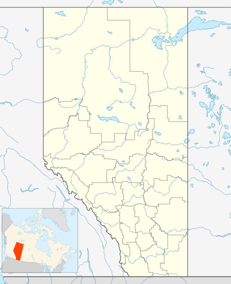
- Map of Coalhurst AB Canada
- 1509 jr girls vball fpw wcchs cardston coalhurst
- Demographics
- References
Map of Coalhurst, AB, Canada
Around 1930, a large fire broke out in Coalhurst and cost the town about $35,000. No one was injured in the fire.
1509 jr girls vball fpw wcchs cardston coalhurst
Demographics
In the 2016 Census of Population conducted by Statistics Canada, the Town of Coalhurst recorded a population of 2,668 living in 938 of its 970 total private dwellings, a 7001349000000000000♠34.9% change from its 2011 population of 1,978. With a land area of 3.11 km2 (1.20 sq mi), it had a population density of 857.9/km2 (2,221.9/sq mi) in 2016.
The Town of Coalhurst's 2013 municipal census counted a population of 2,301, a 1.4% change from its 2012 municipal census population of 2,269.
In the 2011 Census, the Town of Coalhurst had a population of 1,963 living in 715 of its 785 total dwellings, a 28.9% change from its 2006 population of 1,523. With a land area of 2.39 km2 (0.92 sq mi), it had a population density of 821.3/km2 (2,127.3/sq mi) in 2011.