
Country Canada Census division No. 2 Time zone MST (UTC-7) | Incorporated January 1, 1954 Population 10,353 (2016) Province Alberta | |
 | ||
Name changes January 1, 1964September 6, 2000December 4, 2013 | ||
Lethbridge County is a municipal district in southern Alberta. It is in Census Division No. 2 and part of the Lethbridge census agglomeration. It was known as the County of Lethbridge prior to December 4, 2013. Its name was changed in time for 2014 to coincide with its 50th anniversary.
Contents
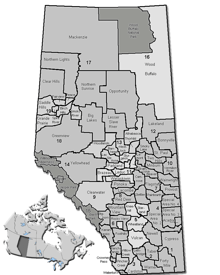
Map of Lethbridge County, AB, Canada
History
Lethbridge County encompasses an area that was originally under the jurisdiction of six municipalities. It was originally formed as the Municipal District of Lethbridge No. 25 on January 1, 1954 by amalgamating the municipal districts of Bright No. 16 and Barons No. 25 and portions of Special Area No. 4, the County of Vulcan No. 2 and the municipal districts of Warner No. 4 and Sugar City No. 5. Ten years later, on January 1, 1964, the Municipal District of Lethbridge No. 25 joined with Lethbridge School Division No. 7 to become the County of Lethbridge No. 26. It subsequently changed its name to the County of Lethbridge on September 6, 2000 and then again to Lethbridge County on December 4, 2013.
Demographics
In the 2016 Census of Population conducted by Statistics Canada, Lethbridge County recorded a population of 10,353 living in 2,968 of its 3,129 total private dwellings, a 7000310000000000000♠3.1% change from its 2011 population of 10,046. With a land area of 2,836.64 km2 (1,095.23 sq mi), it had a population density of 3.6/km2 (9.5/sq mi) in 2016.
In the 2011 Census, Lethbridge County had a population of 10,061 living in 2,866 of its 3,052 total dwellings, a -1.9% change from its 2006 adjusted population of 10,254. With a land area of 2,837.8 km2 (1,095.7 sq mi), it had a population density of 3.5/km2 (9.2/sq mi) in 2011.
In the 2006 Census, Lethbridge County had a population of 10,302 living in 2,986 dwellings, a 3.7% increase from 2001. The county has a land area of 2,839.28 km2 (1,096.25 sq mi) and a population density of 3.6/km2 (9.3/sq mi).
In the 2001 Census, Lethbridge County had a population of 9,930 in 2,916 dwellings, a 7.3% increase from 1996. On a surface of 2,838.84 km² it has a density of 3.5 inhabitants/km².
Economy
The economy of the county is primarily agricultural, including the well known "Feedlot Alley", a 500 km² area of intensive livestock operations.
Government
The county is governed by a council of seven councillors, elected every four years, from seven electoral divisions. The last election was in October 2013. The council chooses a reeve to be their head. It meets in offices located in Lethbridge.