FIPS code 08-15440 Elevation 1,996 m Zip code 81222 Local time Tuesday 3:37 PM | Time zone MST (UTC-7) GNIS feature ID 204773 Area 77.3 km² Population 255 (2010) | |
 | ||
Weather 8°C, Wind SW at 23 km/h, 16% Humidity | ||
Coaldale is a census-designated place and U.S. post office in Fremont County, Colorado, United States. The population as of the 2010 census was 255. The Coaldale Post Office has the ZIP Code 81222.
Contents
Map of Coaldale, CO 81222, USA
Geography
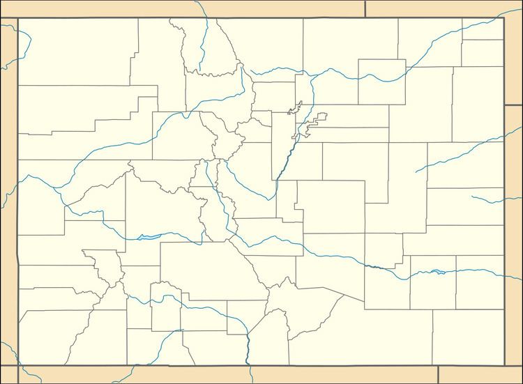
Coaldale is located in southwestern Fremont County at 38°21′50″N 105°45′21″W (38.364003,-105.755939). It is bordered to the northwest by the community of Howard. The northeastern edge of the CDP follows the Arkansas River, and U.S. Route 50 follows the river through the CDP. Cañon City, the county seat, is 37 miles (60 km) to the east (downriver), while Salida is 21 miles (34 km) northwest (upriver).
According to the U.S. Census Bureau, the Coaldale CDP has an area of 29.8 square miles (77.3 km2), all of it land. The CDP extends southwest out of the Arkansas River valley up into San Isabel National Forest and the Sangre de Cristo Range. The southeastern edge of the CDP follows the Hayden Creek valley up to Hayden Pass; the southwestern edge follows the Saguache County line along the crest of the Sangre de Cristos; and the northwestern edge follows Stout Creek and Kerr Gulch Road back down to the Arkansas River valley.
