Counties Fremont FIPS code 08-37655 Elevation 2,047 m Zip code 81233 | Time zone MST (UTC-7) GNIS feature ID 191723 Area 43.4 km² Local time Wednesday 12:27 PM | |
 | ||
Weather 19°C, Wind SW at 27 km/h, 13% Humidity | ||
Howard is a census-designated place and a U.S. post office in Fremont County, Colorado, United States. The population as of the 2010 census was 723. The Howard Post Office has the ZIP code 81233.
Contents
Map of Howard, CO, USA
A post office called Howard has been in operation since 1882. The community has the name of John Howard, a local pioneer.
Geography
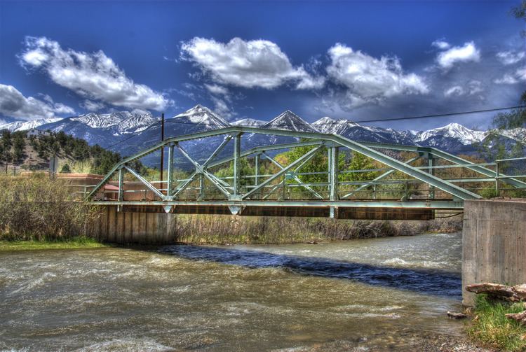
Howard is located in southwestern Fremont County at 38°26′55″N 105°50′04″W (38.448749,-105.834560), along the Arkansas River. U.S. Route 50 passes through the CDP, leading northwest 13 miles (21 km) to Salida and east 46 miles (74 km) to Cañon City, the Fremont County seat. Howard is bordered to the southeast by Coaldale.
According to the U.S. Census Bureau, the Howard CDP has an area of 16.8 square miles (43.4 km2), all land. The CDP boundaries extend southwest from the Arkansas River Valley up the eastern slopes of the Sangre de Cristo Range within San Isabel National Forest.
