
Country United States County Clay FIPS code 18-13888 Elevation 185 m Local time Tuesday 10:54 AM | State Indiana GNIS feature ID 432691 Zip code 47834 | |
 | ||
Weather 12°C, Wind SW at 24 km/h, 74% Humidity | ||
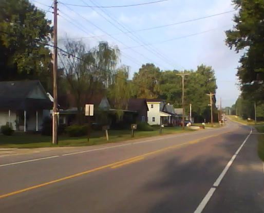
Cloverland is an unincorporated community in Posey Township, Clay County, Indiana. It is part of the Terre Haute Metropolitan Statistical Area.
Contents
Map of Cloverland, IN 47834, USA
Geography
Cloverland is located at 39°30′05″N 87°13′53″W, about six miles west of the county seat, Brazil, and less than one mile east of the Vigo-Clay line. Cloverland is within the humid continental climate zone. The terrain is gently rolling and includes a small brook.
History
The town was platted in 1834 as a speculative venture by Terre Haute doctor Charles Modesitt. The town grew steadily with several general stores, a carpentry shop, and several other ventures. With the construction of the railroad, business activity shifted to nearby Brazil, and the town's population dwindled. A post office was established at Cloverland in 1850, and remained in operation until it was discontinued in 1920. Today, a church, a commercial building, and cluster of houses are all that remain.