
Country United States ZIP codes 40927 Elevation 469 m | Time zone Central (CST) (UTC-6) GNIS feature ID 511416 Local time Tuesday 9:01 AM | |
 | ||
Weather 11°C, Wind S at 16 km/h, 75% Humidity | ||
How to say or pronounce usa cities closplint kentucky
Closplint is an unincorporated community in Harlan County, Kentucky, United States. The settlement was named Cloversplint after the seam of coal and the mining company that operated there. When the U.S. Postal Service established a post office (ZIP Code 40927), the name was shortened to Closplint.
Contents
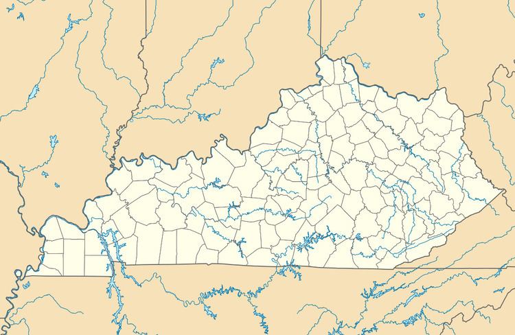
Map of Closplint, KY 40927, USA
References
Closplint, Kentucky Wikipedia(Text) CC BY-SA