
Country United States GNIS feature ID 453234 Area 120 km² Population 9,119 (2010) | ZIP codes 47842, 47884 Elevation 168 m Local time Tuesday 4:17 AM | |
 | ||
Weather 15°C, Wind SW at 32 km/h, 82% Humidity | ||
Clinton Township is one of five townships in Vermillion County, Indiana, United States. As of the 2010 census, its population was 9,119 and it contained 4,281 housing units.
Contents
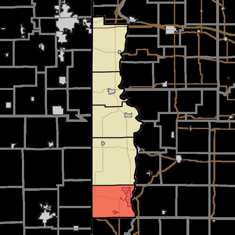
- Map of Clinton Township IN 47842 USA
- History
- Geography
- Cities
- Unincorporated towns
- Cemeteries
- Lakes
- Landmarks
- School districts
- Political districts
- References
Map of Clinton Township, IN 47842, USA
History
Clinton Township was named for DeWitt Clinton, the sixth Governor of New York.
Geography
According to the 2010 census, the township has a total area of 46.35 square miles (120.0 km2), of which 45.25 square miles (117.2 km2) (or 97.63%) is land and 1.1 square miles (2.8 km2) (or 2.37%) is water.
Cities
Unincorporated towns
(This list is based on USGS data and may include former settlements.)
Cemeteries
The township contains eight cemeteries: Bono, Gorton, Hall, Jackson, Riverview, Shirley, Spangler and Walnut Grove.
Lakes
Landmarks
School districts
Political districts
References
Clinton Township, Vermillion County, Indiana Wikipedia(Text) CC BY-SA