
Country United States Time zone Eastern (EST) (UTC-5) Elevation 183 m | State Indiana ZIP code 47842 Local time Thursday 2:10 AM | |
 | ||
Weather -7°C, Wind SE at 2 km/h, 84% Humidity | ||
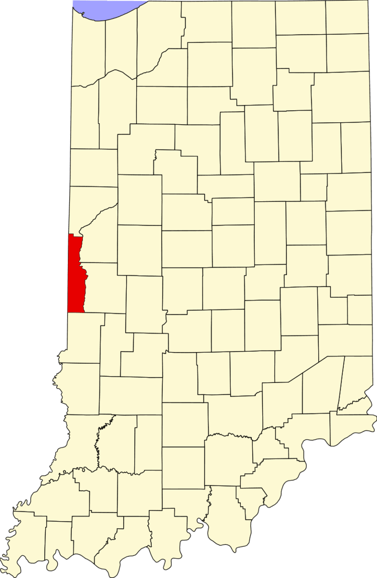
Klondyke is an unincorporated community in Clinton Township, Vermillion County, in the U.S. state of Indiana.
Contents
Map of Klondyke, Clinton Township, IN 47842, USA
History
The town was named for the local Klondyke Mines, which were active in the early 1900s.
Geography
Klondyke is located at 39°40′6″N 87°26′16″W (39.668400, -87.437790).
References
Klondyke, Indiana Wikipedia(Text) CC BY-SA