
Operation Hydraulic Width 5.79 m (19 ft 0 in) Opened 1822 | Length 39.57 m (129 ft 10 in) Fall 1.03 m (3 ft 5 in) First built 1822 | |
 | ||
Similar | ||
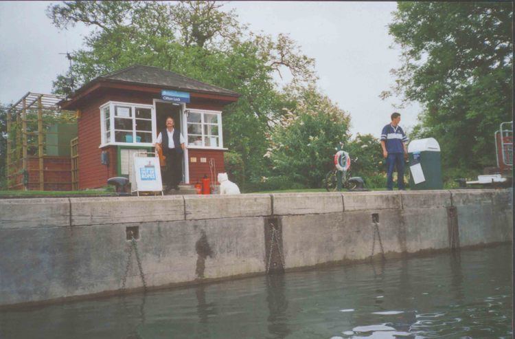
Culham and clifton lock summer 2013
Clifton Lock is a lock on River Thames in Oxfordshire, England. It is located south of the village of Clifton Hampden and north of Long Wittenham. It is at the start of the Clifton Cut, which bypasses the river to the north of Long Wittenham. The lock was completed in 1822 by the Thames Navigation Commissioners.
Contents
- Culham and clifton lock summer 2013
- Map of Clifton Lock High St Long Wittenham Abingdon OX14 4QN UK
- History
- Access to the Lock
- Reach above the lock
- References
Map of Clifton Lock, High St, Long Wittenham, Abingdon OX14 4QN, UK
The main weir, which was built thirteen years later than the lock, runs across the old navigation of the river. A smaller weir runs just above the lock.
History
Clifton is one of the few lock sites on the non-tidal river where there was not a pre-existing weir and flash lock, although there was an important ferry. Problems to navigation had long been recognised and the first suggestions for creating a lock "near Clifton Ferry" occurred in 1793, being raised again in 1811.
The construction of the lock cut was delayed because the owner of the land was "a lunatic", but it was eventually completed in 1822 together with the lock. No weir was built at the time, giving rise to complaints. In 1826, the Lord Mayor of London visited Oxford by boat, and the City Barge, shallop and attendant boats were "detained at Clifton a considerable length of time.
The weir was eventually erected on the old navigation in 1835. It was enlarged by 1877 and a tumbling bay was created close to the lock. The lock cut bridges were rebuilt in 1884.
Access to the Lock
The lock is at the end of a long track which starts on the A415 road to Abingdon just after it leaves Clifton Hampden (10 mph signs). On the way to the lock, this track meets another track from the end of the High Street Clifton Hampden. The status of these tracks is unclear as signs state "Farm only". The access to the lock from the A415 is not a public road and is limited to authorized persons only!
Reach above the lock
The Clifton cut takes the river for nearly a mile before it resumes its natural course. The reach is relatively dull and uninteresting, crossed about halfway along by the Appleford Railway Bridge. Just before Sutton Bridge the river again divides between an old course via Sutton Courtenay and the Culham Cut.
The Thames Path follows the northern bank all the way to Culham Lock.