
Airport type Public Website www.flyeca.com Elevation 257 m | Elevation AMSL 844 ft / 257 m Address Batavia, OH 45103, USA Phone +1 513-735-9500 | |
 | ||
Owner/Operator Clermont County Commissioners Profiles | ||
Citation dusk landing at clermont county airport
Clermont County Airport (FAA LID: I69) is a public use airport located two nautical miles (4 km) west of the central business district of Batavia, a village in Clermont County, Ohio, United States. It is owned by the Clermont County Commissioners.
Contents
- Citation dusk landing at clermont county airport
- Intro flight at clermont county airport
- Facilities and aircraft
- Accidents and incidents
- References
It is also known as Sporty's Airport. The fixed-base operator is Eastern Cincinnati Aviation. The Tri-State Warbird Museum is located on the west side of the airport.
The airport is currently looking into the possibility of extending the runway with funding from the state.
Intro flight at clermont county airport
Facilities and aircraft
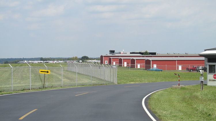
Clermont County Airport covers an area of 60 acres (24 ha) at an elevation of 844 feet (257 m) above mean sea level. It has one runway designated 4/22 with a 3,568 x 75 ft (1,088 x 23 m) asphalt surface.
The airport is served by four instrument approaches, including an RNAV (GPS) approach to both runway 4 and 22.
For the 12-month period ending December 19, 2007, the airport had 30,650 aircraft operations, an average of 83 per day: 98% general aviation, 2% air taxi and <1% military. At that time there were 120 aircraft based at this airport: 88% single-engine, 7% multi-engine, 4% helicopter, 1% jet and 1% glider.