
Population 2,171 (2011) Sovereign state United Kingdom Local time Tuesday 1:45 AM Dialling code 01553 | OS grid reference TF588201 Post town KING'S LYNN | |
 | ||
Weather 3°C, Wind W at 11 km/h, 93% Humidity District King's Lynn and West Norfolk | ||
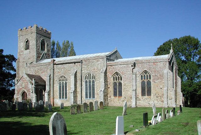
Clenchwarton is a village, civil parish and electoral ward in the English county of Norfolk. It is located on the west side of the River Great Ouse, about 2 km from the river and from the town of King's Lynn on the east side of the river.
Map of Clenchwarton, UK
The civil parish has an area of 12.77 km² and in the 2001 census had a population of 2,200 in 912 households. the population reducing to 2,171 at the 2011 Census. For the purposes of local government, the parish falls within the district of King's Lynn and West Norfolk.
Clenchwarton railway station was part of the Lynn and Sutton Bridge Railway, and closed in 1959.
References
Clenchwarton Wikipedia(Text) CC BY-SA