
Country United States Time zone Eastern (EST) (UTC-5) Area 27 ha | ZIP code 40514 Population 213 (2000) | |
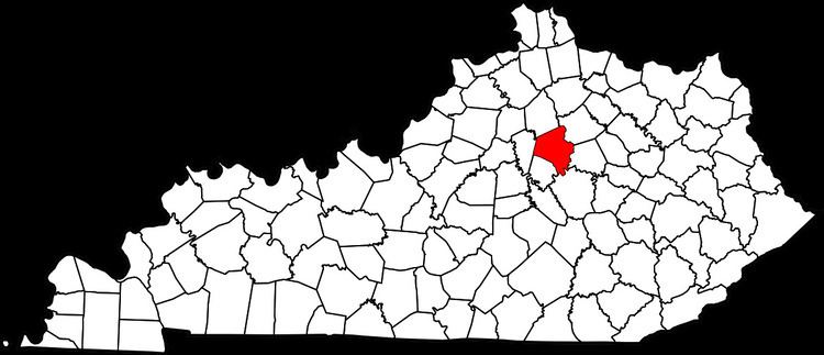 | ||
Clemens Heights is a neighborhood in southwestern Lexington, Kentucky, United States. Its streets are all named after things associated with Mark Twain, whose real name was Samuel Clemens. Its boundaries are Old Higbee Mill Road to the north, Clemens Drive and Carevares Drive to the east, Copper Run Boulevard to the south, and Dogwood Park to the west.
Contents
Map of Clemens Heights%2F Clemens Grove, Lexington, KY 40514, USA
Neighborhood statistics
References
Clemens Heights, Lexington Wikipedia(Text) CC BY-SA