
GNIS feature ID 0453216 Area 93.29 km² Population 2,600 (2010) | ZIP codes 47404, 47459, 47460 Elevation 227 m Local time Monday 4:53 PM | |
 | ||
Weather 14°C, Wind S at 21 km/h, 87% Humidity | ||
Clay Township is one of thirteen townships in Owen County, Indiana, United States. As of the 2010 census, its population was 2,600 and it contained 1,083 housing units.
Contents
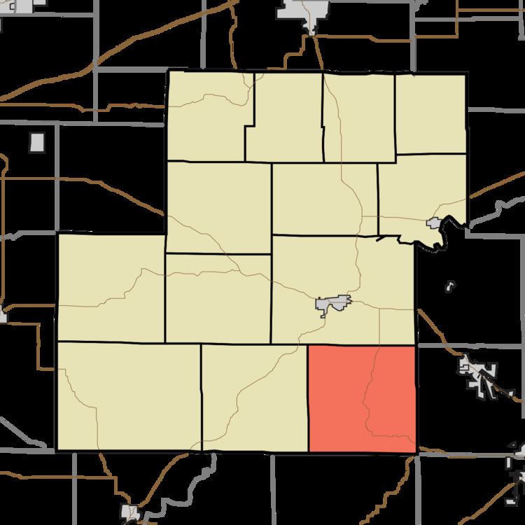
- Map of Clay Township IN USA
- History
- Geography
- Unincorporated towns
- Cemeteries
- School districts
- Political districts
- References
Map of Clay Township, IN, USA
History
Clay Township was named for Kentucky statesman Henry Clay.
The Ennis Archaeological Site was listed on the National Register of Historic Places in 1985.
Geography
According to the 2010 census, the township has a total area of 36.02 square miles (93.3 km2), all land.
Unincorporated towns
(This list is based on USGS data and may include former settlements.)
Cemeteries
The township contains these five cemeteries: Brown, Gross, Hopewell, Livingston and Moreland.
School districts
Political districts
References
Clay Township, Owen County, Indiana Wikipedia(Text) CC BY-SA