
Country United States County Owen ZIP code 47460 Elevation 186 m | State Indiana Time zone Eastern (EST) (UTC-5) Area code(s) 812 Local time Friday 12:47 AM | |
 | ||
Weather 2°C, Wind SE at 6 km/h, 49% Humidity | ||
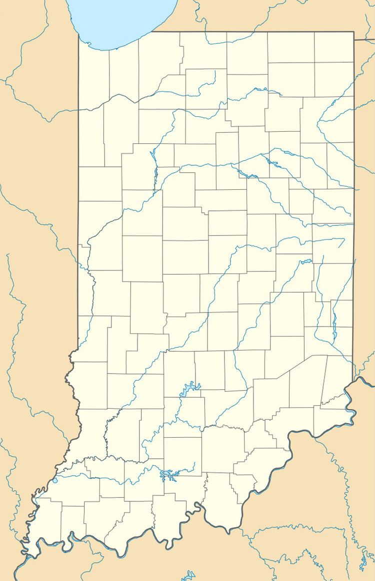
Freeman is an unincorporated community in the center of Clay Township, Owen County, Indiana, United States. It lies near the intersection of County Road 650 South and Indiana Highway 43, which is a community nearly nine miles south of the city of Spencer, the county seat. Its elevation is 541 feet (165 m), and it is located at 39°11′44″N 86°44′1″W (39.1953233 -86.7336153).
Contents
Map of Freeman, IN 47460, USA
History
The Freeman post office closed in 1915. The community was named after a family of settlers.
Geography
School districts
Political districts
References
Freeman, Indiana Wikipedia(Text) CC BY-SA