
Country United States FIPS code 39-15462 Elevation 177 m Population 1,870 (2010) | Time zone Eastern (EST) (UTC-5) GNIS feature ID 1086134 Local time Monday 4:50 PM | |
 | ||
Weather 15°C, Wind S at 8 km/h, 67% Humidity Area 58.53 km² (56.72 km² Land / 181 ha Water) | ||
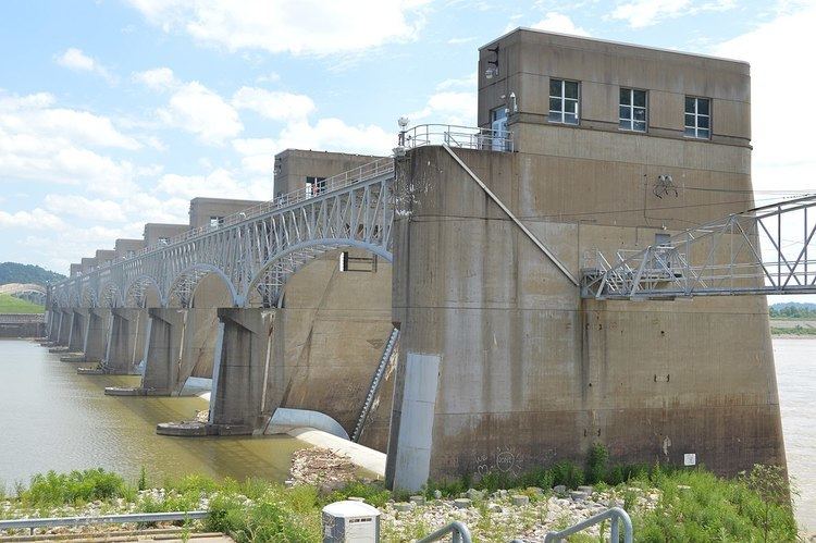
Clay Township is one of the fifteen townships of Gallia County, Ohio, United States. As of the 2010 census the population was 1,870.
Contents
Map of Clay Township, OH, USA
Geography
Located in the southeastern part of the county along the Ohio River, it borders the following townships:
Mason County, West Virginia, lies across the Ohio River to the east.
It is located downstream of three of the county's five other Ohio River townships.
No municipalities are located in Clay Township.
Name and history
It is one of nine Clay Townships statewide.
Government
The township is governed by a three-member board of trustees, who are elected in November of odd-numbered years to a four-year term beginning on the following January 1. Two are elected in the year after the presidential election and one is elected in the year before it. There is also an elected township fiscal officer, who serves a four-year term beginning on April 1 of the year after the election, which is held in November of the year before the presidential election. Vacancies in the fiscal officership or on the board of trustees are filled by the remaining trustees.