
Country United States FIPS code 39-15588 Elevation 186 m Zip code 43408 Local time Monday 4:35 PM | Time zone Eastern (EST) (UTC-5) GNIS feature ID 1048603 Area 2.69 km² Population 279 (2013) Area code 419 | |
 | ||
Weather 12°C, Wind S at 23 km/h, 91% Humidity | ||
Norfolk southern train through clay center ohio
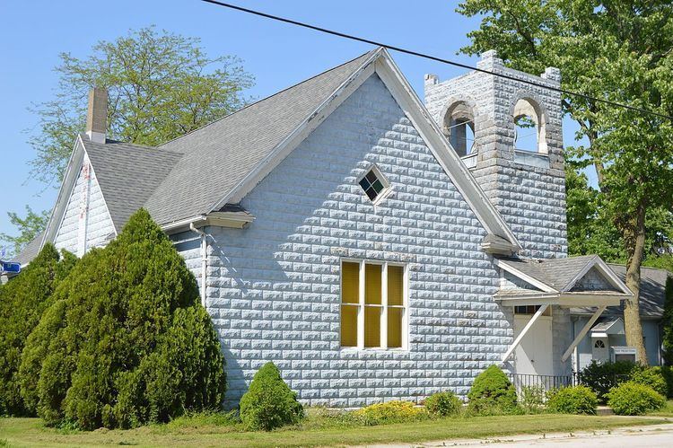
Clay Center is a village in Ottawa County, Ohio, United States. The population was 276 at the 2010 census.
Contents
- Norfolk southern train through clay center ohio
- Map of Clay Center OH USA
- Norfolk southern mixed freight in clay center ohio
- Geography
- 2010 census
- 2000 census
- References
Map of Clay Center, OH, USA
Clay Center derives its name from Clay Township.
Norfolk southern mixed freight in clay center ohio
Geography
Clay Center is located at 41°33′58″N 83°21′47″W (41.566199, -83.362952).
According to the United States Census Bureau, the village has a total area of 1.04 square miles (2.69 km2), all land.
2010 census
As of the census of 2010, there were 276 people, 103 households, and 74 families residing in the village. The population density was 265.4 inhabitants per square mile (102.5/km2). There were 114 housing units at an average density of 109.6 per square mile (42.3/km2). The racial makeup of the village was 98.2% White, 1.1% from other races, and 0.7% from two or more races. Hispanic or Latino of any race were 5.8% of the population.
There were 103 households of which 35.0% had children under the age of 18 living with them, 50.5% were married couples living together, 11.7% had a female householder with no husband present, 9.7% had a male householder with no wife present, and 28.2% were non-families. 24.3% of all households were made up of individuals and 14.6% had someone living alone who was 65 years of age or older. The average household size was 2.68 and the average family size was 3.20.
The median age in the village was 32.8 years. 26.4% of residents were under the age of 18; 11.3% were between the ages of 18 and 24; 26.1% were from 25 to 44; 21.8% were from 45 to 64; and 14.5% were 65 years of age or older. The gender makeup of the village was 46.0% male and 54.0% female.
2000 census
As of the census of 2000, there were 294 people, 109 households, and 84 families residing in the village. The population density was 325.6 people per square mile (126.1/km²). There were 113 housing units at an average density of 125.2 per square mile (48.5/km²). The racial makeup of the village was 98.30% White, 1.70% from other races. Hispanic or Latino of any race were 4.42% of the population.
There were 109 households out of which 35.8% had children under the age of 18 living with them, 58.7% were married couples living together, 14.7% had a female householder with no husband present, and 22.9% were non-families. 20.2% of all households were made up of individuals and 11.9% had someone living alone who was 65 years of age or older. The average household size was 2.70 and the average family size was 3.13.
In the village, the population was spread out with 28.2% under the age of 18, 8.5% from 18 to 24, 29.6% from 25 to 44, 23.1% from 45 to 64, and 10.5% who were 65 years of age or older. The median age was 35 years. For every 100 females there were 97.3 males. For every 100 females age 18 and over, there were 88.4 males.
The median income for a household in the village was $55,000, and the median income for a family was $55,375. Males had a median income of $40,714 versus $27,813 for females. The per capita income for the village was $22,180. About 1.1% of families and 3.0% of the population were below the poverty line, including 4.6% of those under the age of eighteen and none of those sixty five or over.