
OS grid reference SN047212 Sovereign state United Kingdom Local time Monday 12:59 PM | Country Wales Post town Clarbeston Road | |
 | ||
Weather 8°C, Wind SW at 18 km/h, 88% Humidity | ||
Bute park cardiff central train station carmarthen clunderwen clarbeston road haverfordwest
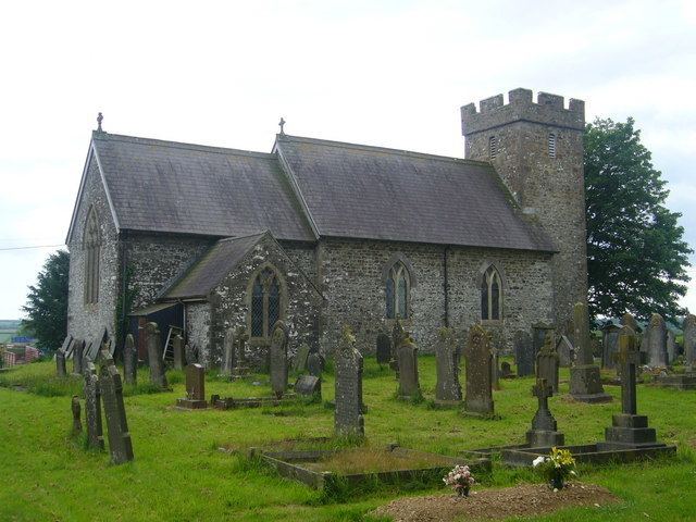
Clarbeston (Welsh: Treglarbes) is a village and parish in Pembrokeshire, Wales, 11 km (6.8 mi) east of Haverfordwest. The parish, together with Wiston and Walton East, constitute the community of Wiston.
Contents
- Bute park cardiff central train station carmarthen clunderwen clarbeston road haverfordwest
- Map of Clarbeston Clarbeston Road UK
- Name
- Location
- Parish
- References
Map of Clarbeston, Clarbeston Road, UK
Name
The English placename means "Clarenbald's farm", Clarenbald being a continental Germanic (perhaps Flemish) personal name. The Welsh placename is a translation of the English.
Location
Clarbeston Road railway station and the surrounding settlement and post town of Clarbeston Road lie to the west of the village.
Parish
The parish is close to, or on, the Pembrokeshire language frontier and has always had a somewhat fluctuating proportion of Welsh speakers.
The parish had an area of 671 ha (1,660 acres). Its census populations were: 180 (1801): 178 (1851): 158 (1901): 114 (1951): 71 (1981)
The percentage of Welsh speakers was 41 (1891): 44 (1931): 27 (1971)