
Prominence c. 54 m Topo map OS Landranger 45 Listing Marilyn | OS grid NO616865 Elevation 589 m | |
 | ||
Translation Rock of the Hill (Gaelic) Similar Scolty Hill, Mount Keen, Lochnagar, Carnethy Hill, Hill of Fare | ||
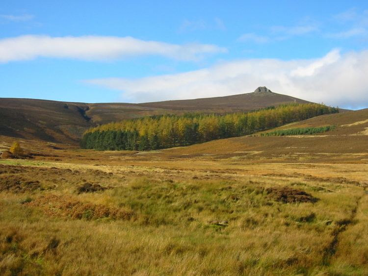
Clachnaben (archaically "Cloch-na'bain"; Scottish Gaelic: "Clach na Beinne") is a 589-metre hill in Glen Dye, Aberdeenshire, Scotland. It is a distinctive hill visible from many points on Lower Deeside and is topped with a large granite tor. Clachnaben is the war cry of Clan Strachan.
Contents
Map of Clachnaben, Banchory, UK
Geography
A popular walk starts at the car park on the Cairn O' Mounth (Banchory–Fettercairn) road, 10 kilometres south of Banchory. Popularity has caused some erosion on the old steep path which climbs this hill directly; however, efforts have been made to stabilise the erosion. A new improved path takes an easier and less direct route from Millar's Bog to the summit. There are views to Mount Battock, Lochnagar and Bennachie.
The granite tor provides some rock climbing. An annual fell race is run on the hill.