
Postal Code 537050 Area 96.83 km² Local time Monday 8:48 AM | Time zone EET (UTC+2) Area code(s) +40 266 Population 4,334 (2011) | |
 | ||
Weather 4°C, Wind SW at 14 km/h, 84% Humidity | ||
Spin 360 partia ciumani
Ciumani (Hungarian: Gyergyócsomafalva, [ˈɟɛrɟoːtʃomɒfɒlvɒ]) is a commune in Harghita County, Romania. It lies in the Székely Land, an ethno-cultural region in eastern Transylvania. It is composed of a single village, Ciumani.
Contents
- Spin 360 partia ciumani
- Map of Ciumani 537050 Romania
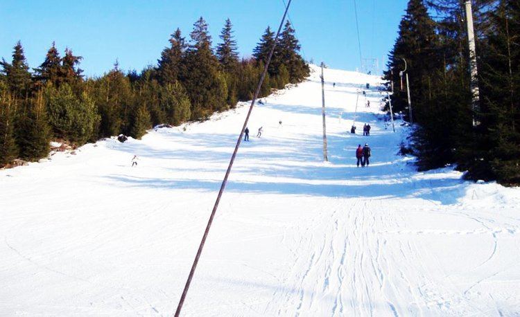
- Snowpark ciumani
- Governance
- Demographics
- Twin towns sister cities
- References
Map of Ciumani 537050, Romania
Snowpark ciumani
Governance
It belonged first to the Székely seat of Gyergyószék, which was subsequently absorbed into Csíkszék, then, from 1876 until 1918, to Csík County in the Kingdom of Hungary. After World War I, by the terms of the Treaty of Trianon of 1920, it became part of Romania. As a result of the Second Vienna Award, it belonged to Hungary again between 1940 and 1944. After World War II, it came under Romanian administration and became part of Romania in 1947. Between 1952 and 1960, it formed part of the Hungarian Autonomous Province, then, of the Mureș-Hungarian Autonomous Province until it was abolished in 1968. Since then, the commune has been part of Harghita County.
Demographics
The commune has an absolute Székely (Hungarian) majority. According to the 2011 census it has a population of 4,334 of which 99.68% or 4,320 are Hungarian.