
Postal Code 537040 Area 240.7 km² Local time Monday 8:24 AM | Time zone EET (UTC+2) Area code(s) +40 266 Population 4,751 (2011) | |
 | ||
Weather 1°C, Wind SW at 6 km/h, 91% Humidity | ||
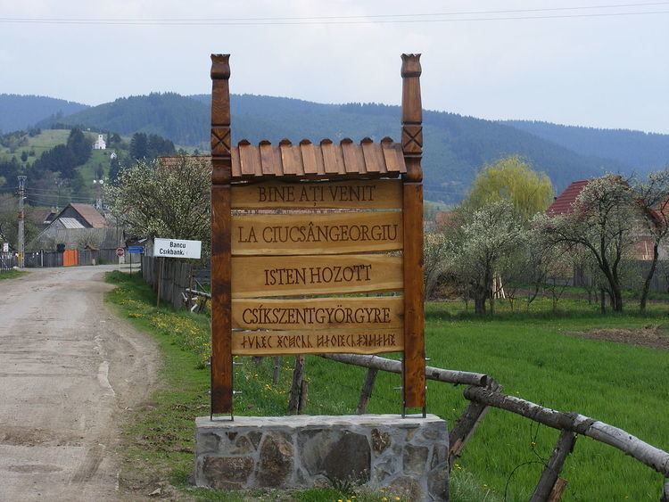
Ciucsângeorgiu (Hungarian: Csíkszentgyörgy, [ˈt͡ʃiːksɛnɟørɟ]) is a commune in Harghita County, Romania. It lies in the Székely Land, an ethno-cultural region in eastern Transylvania.
Contents
Map of Ciucs%C3%A2ngeorgiu 537040, Romania
Component villages
The commune is composed of nine villages:
History
The village formed part of the Székely seat of Csíkszék, then from 1876 until 1918 to Csík County in the Kingdom of Hungary. After the Treaty of Trianon of 1920, it became part of Romania. In 1940, the Second Vienna Award granted the Northern Transylvania to Hungary and the villages were held by Hungary until 1944. After Soviet occupation, the Romanian administration returned and the commune became officially part of Romania in 1947. Between 1952 and 1960, the commune fell within the Magyar Autonomous Region, between 1960 and 1968 the Mureș-Magyar Autonomous Region. In 1968, the province was abolished, and since then, the commune has been part of Harghita County.
Demographics
The commune has an absolute Székely (Hungarian) majority. According to the 2011 Census it has a population of 4,751 of which 98.23% or 4,667 are Hungarian.