
Population 107,127 (2015 est) Mayor Bernadene Voss Area 20.62 km² | Established 1994 Founded 1994 University Swinburne Online | |
 | ||
State electorate(s) Albert ParkBrightonCaulfieldPrahran Points of interest St Kilda Botanical Gardens, Luna Park - Melbourne, St Kilda Beach - Victoria, Albert Park and Lake, Melbourne Grand Prix Circuit | ||
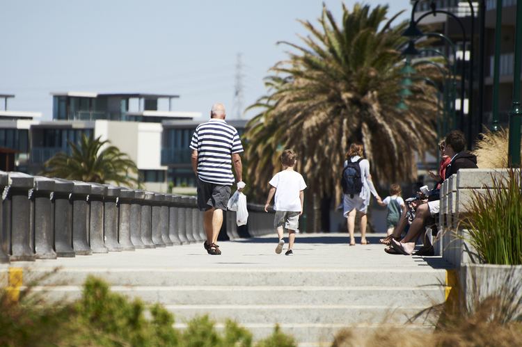
Discover your own backyard city of port phillip
The City of Port Phillip is a local government area of Victoria, Australia on the northern shores of Port Phillip, south of Melbourne's central business district. It has an area of 20.62 km² and had a population of 91,372 people at the 2011 Census.
Contents
- Discover your own backyard city of port phillip
- Map of Port Phillip VIC Australia
- Schools
- Offices
- Libraries
- Notable institutions
- Notable events
- Suburbs and localities
- Current composition and election method
- Mayors
- Sister cities
- References
Map of Port Phillip, VIC, Australia
Port Phillip contains a number of varied and substantial retail, entertainment and leisure precincts. These include Bay Street (Port Melbourne), Victoria Avenue (Albert Park), Clarendon Street (South Melbourne), Armstrong Street (Middle Park), Fitzroy Street (St Kilda), Acland Street (St Kilda), Carlisle Street (Balaclava) and Ormond Road (Elwood). A number of significant employment areas lie within Port Phillip, including part of the St Kilda Road business district and industrial, warehousing and manufacturing districts in South Melbourne and Port Melbourne. The city has experienced a significant amount of residential development in the 1990s, particularly in areas close to the foreshore. Port Phillip is well served by public transport with a substantial tram network, the St Kilda and Port Melbourne light rail lines and two stations on the Sandringham railway line, in addition to bus services.
Comprising seven wards, it is predominantly an amalgamation of three former cities – St Kilda, parts of South Melbourne, most of Port Melbourne, plus a small portion of Windsor from Prahran.
The city was created in the present borders in June 1994 under the municipal restructure by the then Jeff Kennett Liberal government. At the time the city was administered by the then Commissioner Des Clarke and two other commissioners. The first council elections were held in March 1996. The City of Port Phillip is bounded by White Reserve and Todd Road to the west, the West Gate Freeway, Kings Way and Dorcas Street to the north, St Kilda Road, High Street, Punt Road, Queens Way, Dandenong Road, Orrong Road, Inkerman Street, Hotham Street, Glen Huntly Road, St Kilda Street and Head Street generally to the east and the foreshore of Port Phillip to the south. Adjacent councils include the City of Melbourne, City of Bayside, City of Glen Eira and the City of Stonnington.
Council offices are currently located in the St Kilda Town Hall, Port Melbourne Town Hall and the South Melbourne Town Hall. The council operates several other facilities including local libraries, child care centres, parks, playgrounds and community centres.
Schools
Offices
Libraries
Notable institutions
Notable events
Suburbs and localities
Current composition and election method
Since 2016 Port Phillip City Council is composed of nine Councillors elected from three wards, up from seven in 2012. Councillors are elected for a fixed four-year term of office. The Mayor is elected by the Councillors at the first meeting of the Council. The most recent election was held in October 2016.
The current Council, elected in 2016, in order of election by ward, is as follows:
* Reelected