
Population 80,287 (2015 est) Area 559.5 km (216.0 sq mi) Local time Monday 11:56 AM | Established 1894 Mayor Henry Zelones | |
 | ||
Weather 34°C, Wind W at 16 km/h, 37% Humidity Points of interest | ||
Welcome to the city of armadale
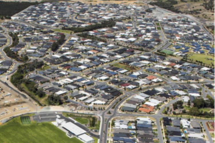
The City of Armadale is a local government area in the south-eastern suburbs of the Western Australian capital city of Perth, about 28 kilometres (17.4 mi) southeast of Perth's central business district. The City covers an area of 560 square kilometres (216 sq mi), much of which is state forest rising into the Darling Scarp to the east, and has a population of 62,296 as at the 2011 Census.
Contents
- Welcome to the city of armadale
- Map of Armadale WA Australia
- Guenter best councillor for city of armadale
- History
- Wards
- Population
- References
Map of Armadale, WA, Australia
Guenter best councillor for city of armadale
History
Prior to European settlement, the area now known as the City of Armadale was part of the land that was occupied by the Aboriginal Noongar people.
Prior to 1894, the area was part of the Canning Road District.
The Kelmscott Road District was created on 14 December 1894 out of parts of Fremantle and Jandakot Road Districts. On 24 March 1910, it was renamed Armadale-Kelmscott.
On 1 July 1961, it became the Shire of Armadale-Kelmscott following the enactment of the Local Government Act 1960. On 1 July 1977, its Byford Ward was abolished and transferred to the Shire of Serpentine-Jarrahdale.
On 1 July 1979 it became the Town of Armadale and on 16 November 1985 it attained city status.
The City of Armadale maintains 615 km of roads and a little over 14 km² of parks and gardens.
Wards
The city has been divided into seven wards, each with two councillors. The mayor is elected from among the councillors.