
Quarant NW Established 1993 Elevation 1,255 m Mayor Naheed Nenshi | Ward 2 Annexed 1983 Population 10,166 (2006) Local time Sunday 4:44 PM | |
 | ||
Weather -12°C, Wind E at 11 km/h, 80% Humidity | ||
Flying around citadel calgary ab summer 2015
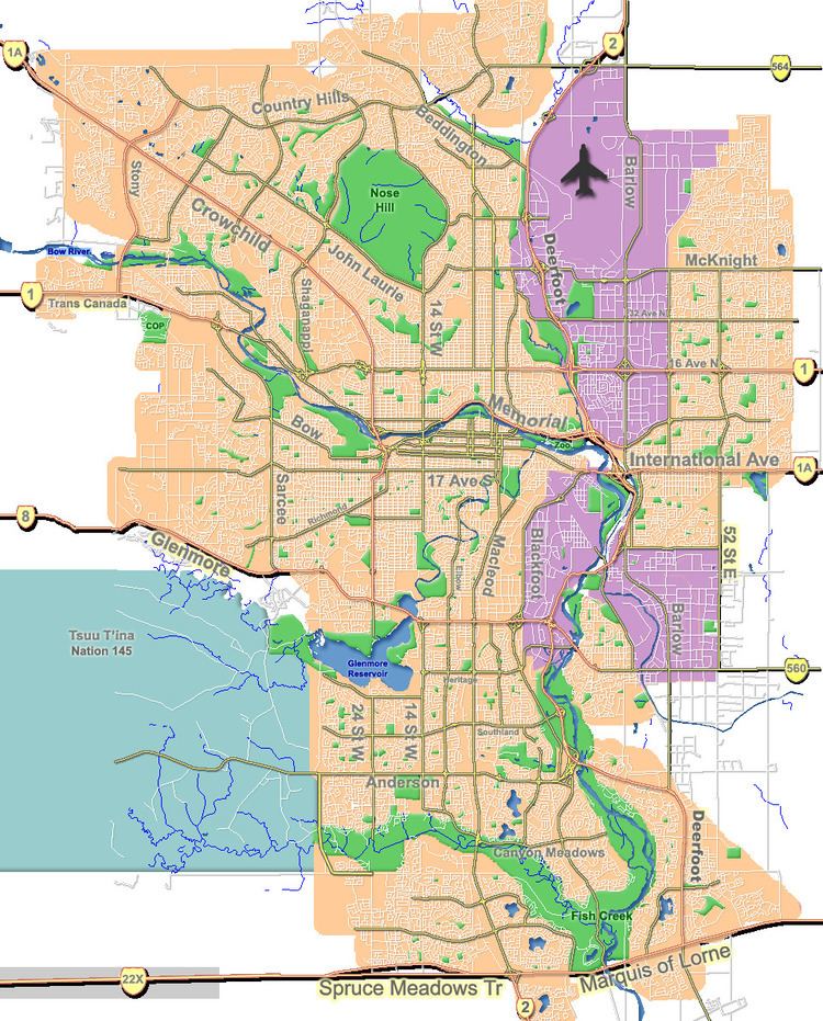
Citadel is a community in Northwest Calgary, Alberta. It is bordered by Stoney Trail on the north and west, Country Hills Blvd on the south, and Sarcee Trail on the east.
Contents
- Flying around citadel calgary ab summer 2015
- Map of Citadel Calgary AB Canada
- Demographics
- Education
- References
Map of Citadel, Calgary, AB, Canada
Public transportation in Citadel is provided by Calgary Transit bus route 199 to Crowfoot C-Train Station.
Demographics
In the City of Calgary's 2012 municipal census, Citadel had a population of 7004101970000000000♠10,197 living in 7003347900000000000♠3,479 dwellings, a 0.3% increase from its 2011 population of 7004101710000000000♠10,171. With a land area of 2.7 km2 (1.0 sq mi), it had a population density of 3,780/km2 (9,780/sq mi) in 2012.
Residents in this community had a median household income of $80,085 in 2000, and there were 7.7% low income residents living in the neighbourhood. The neighbourhood is represented in the Calgary City Council by the Ward 2 councillor.
Most common languages spoken by residents include English, Mandarin, Arabic, Persian, French and Russian.
Education
This neighbourhood has two public elementary schools: Citadel Park Elementary School (K-4) and St. Brigid Catholic School (K-9). After they finished Citadel Park, students would then attend Arbour Lake School. (5-9). St. Brigid is the other public elementary to junior high school in Citadel, which is part of the Calgary Catholic School District.