
Census Area Yukon-Koyukuk FIPS code 02-14880 Zip code 99733 | Population 100 (2000) Area code Area code 907 | |
 | ||
Area 280.2 km² (278.9 km² Land / 129 ha Water) | ||
Circle (also called Circle City, Danzhit Khaiinląįį in Gwich’in) is a census-designated place (CDP) in Yukon-Koyukuk Census Area, Alaska, United States. At the 2000 census the population was 100.
Contents
Map of Circle, AK, USA
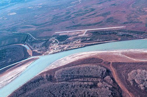
Circle is 160 mi (260 km) northeast of Fairbanks at the end of the Steese Highway. Circle was named by miners in the late 19th century who believed that the town was on the Arctic Circle, but the Arctic Circle is about 50 mi (80 km) north of Circle.
Every February, Circle City hosts a checkpoint for the long-distance Yukon Quest sled dog race.
Many of the events in John McPhee's non-fiction book, Coming into the Country (1976), occur in Circle.
Geography
Circle is located at 67°50′4″N 144°4′35″W (67.834464, -144.076392).
According to the United States Census Bureau, the CDP has a total area of 108.2 square miles (280 km2), of which 107.7 square miles (279 km2) is land and 0.5 square miles (1.3 km2) (0.50%) is water.
Demographics
At the 2000 census, there were 100 people, 34 households and 22 families residing in the CDP. The population density was 0.9 per square mile (0.4/km²). There were 42 housing units at an average density of 0.4 per square mile (0.2/km²). The racial makeup of the CDP was 14.00% White, 76.00% Native American, 1.00% from other races, and 9.00% from two or more races. 4.00% of the population were Hispanic or Latino of any race.
There were 34 households of which 29.4% had children under the age of 18 living with them, 11.8% were married couples living together, 32.4% had a female householder with no husband present, and 32.4% were non-families. 23.5% of all households were made up of individuals and 5.9% had someone living alone who was 65 years of age or older. The average household size was 2.94 and the average family size was 3.48.
29.0% of the population was under the age of 18, 10.0% from 18 to 24, 27.0% from 25 to 44, 30.0% from 45 to 64, and 4.0% who were 65 years of age or older. The median age was 34 years. For every 100 females there were 100.0 males. For every 100 females age 18 and over, there were 115.2 males.
The median household income was $11,667, and the median family income was $11,250. Males had a median income of $0 versus $23,750 for females. The per capita income for the CDP was $6,426. There were 50.0% of families and 42.0% of the population living below the poverty line, including 57.9% of under eighteens and none of those over 64.
History
Circle was established in 1893 when gold was discovered in Birch Creek; it served as an unloading point for supplies shipped up the Yukon River from the Bering Sea. The goods were sent overland to gold mining camps. In 1896, before the Klondike Gold Rush, Circle was the largest mining town on the Yukon River and had a population of 700. It had a store, a few dance halls, an opera house, a library, a school, a hospital, an American Episcopal church, a newspaper, a mill, and several federal officials: United States commissioner, marshal, customs inspector, tax collector and a postmaster.
Circle lost much of its population after gold discoveries in the Klondike in 1897, and Nome in 1899. A few miners stayed near Circle. Mining in the area has continued into the 21st century. Most of the residents of Circle today are Athabascan.
Education
Yukon Flats School District operates the Circle School.