
Country United States Zip code 72769 Elevation 321 m Area code 479 | State Arkansas Time zone Central (CST) (UTC-6) GNIS feature ID 47789 Local time Saturday 2:07 PM | |
 | ||
Weather 18°C, Wind S at 27 km/h, 26% Humidity | ||
Cincinnati is an unincorporated community in Washington County, Arkansas, United States. Cincinnati receives mail delivery from Summers (ZIP code 72769). The population of the Summers ZCTA was 942 at the 2000 census. It is part of the Fayetteville–Springdale–Rogers, AR-MO Metropolitan Statistical Area.
Contents
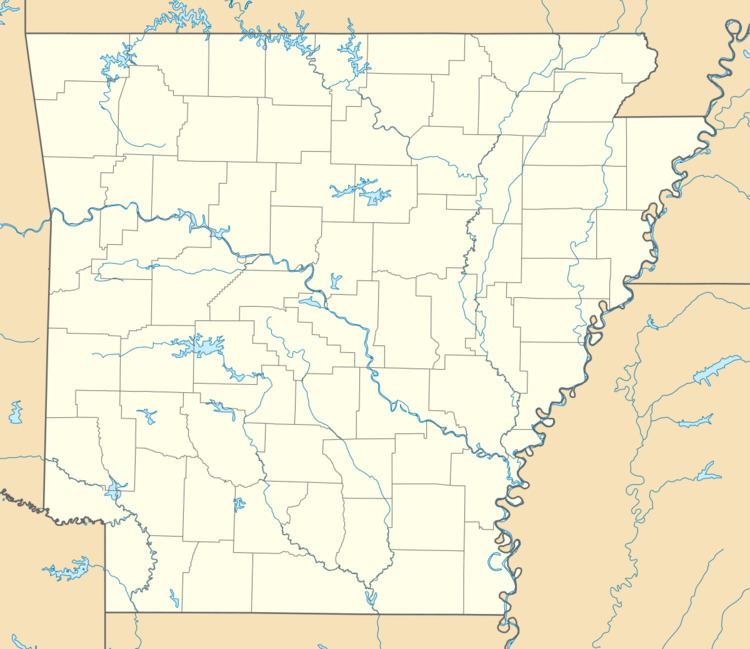
- Map of Cincinnati Illinois Township AR 72769 USA
- Geography
- History
- 2010 New Years Eve Tornado Kills Four
- Notable people
- References
Map of Cincinnati, Illinois Township, AR 72769, USA
Geography
Cincinnati is in the Ozarks on the southern edge of the Springfield Plateau near the Boston Mountains. Cincinnati is on Arkansas Highway 59 about 5 miles (8.0 km) north of U.S. Route 62 and 2 miles (3.2 km) east of the Oklahoma border.
History
In the early years before 1857, Cincinnati was first known as Buzzard Roost, then Silvia. This early settlement was such a thriving center of commerce that people came from Fayetteville for supplies.
2010 New Year's Eve Tornado Kills Four
"The year 2010 ended with an awful roar, followed by an even worse silence." Three of Cincinnati's inhabitants died during the storm. Another died four days later from injuries sustained in the tornado.