
Founded March 3, 1970 Time zone PET (UTC-5) Elevation 300 m | Capital Cieneguilla UBIGEO 150109 Area 240.3 km² | |
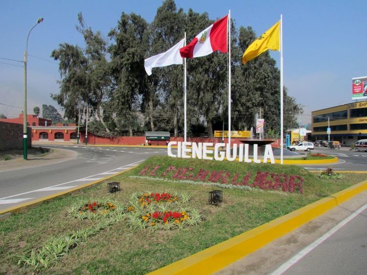 | ||
The Peruvian district of Cieneguilla is one of the 43 districts that make up the Lima Province. It is located in the easternmost area of the province and is one of the few districts left that is not already completely urbanized.
Contents
Map of Cieneguilla, Peru
Boundaries
It borders on the east with the Huarochirí Province in the Lima Region, to the south and west with the Pachacamac District, to the north with the Ate and Chaclacayo districts.
General
The main access route is a highway emanating from La Molina District. The district is found in the Lurín River valley. In this river, until the 1980s, a large amount of shrimp could be found. The Lurín River valley is the only one of the three valleys of Lima (Rimac River valley - Chillón River valley — Lurín River valley, that has not been devastated by the unregulated and unplanned urban growth of Lima. In this sense, the valley in general and Cienguilla, in particular, still have wild areas, nature, and many more attractive landscapes.
Unique Points of Interest
Cieneguilla is the headquarters of Posada de Amor, a Christian children's home.