Airport type Public Elevation AMSL 5,037 ft / 1,535 m 4,200 1,280 | 7/25 4,200 1,280 Gravel/Dirt | |
 | ||
Owner Fort Apache Indian Reservation | ||
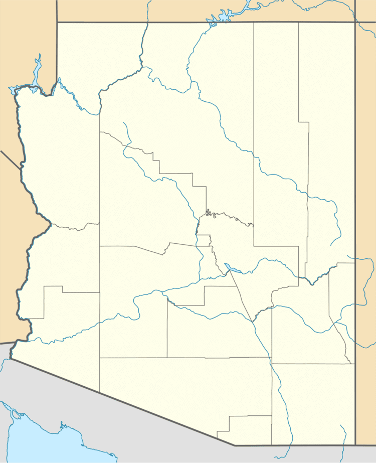
Cibecue Airport (FAA LID: Z95) is a public use airport located four nautical miles (7 km) southeast of the central business district of Cibecue, in Navajo County, Arizona, United States. It is owned by the White Mountain Apache Tribe. This airport is included in the National Plan of Integrated Airport Systems, which categorized it as a general aviation facility.
Facilities and aircraft
Cibecue Airport covers an area of 163 acres (66 ha) at an elevation of 5,037 feet (1,535 m) above mean sea level. It has one runway designated 7/25 with a gravel and dirt surface measuring 4,200 by 100 feet (1,280 x 30 m).
References
Cibecue Airport Wikipedia(Text) CC BY-SA
