
 | ||
Similar Kuray Mountains, Saylyugem Mountains, Chike‑Taman, Chuya Alps, Lake Teletskoye | ||
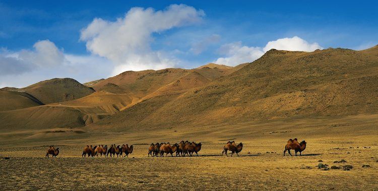
The Chuya Steppe in the Siberian Altai Mountains is a depression formed by tectonic movement of major faults in the Earths crust. The name Chuya Steppe comes from the large river which runs through the steppe, the Chuya River.
Contents
Major settlements
Kosh-Agach is a major village in the north of the steppe. Other large settlements include Chaganuzun and Beltir.
Geology
The Chuya Steppe is filled with Cenozoic sediments, derived from the surrounding mountains of the Chuya Range-Chuya Alps.
Seismicity
The 7.3 Mw Altai earthquake shook South Central Siberia with a maximum Mercalli intensity of X (Exteme), causing $10.6–33 million in damage, three deaths, and five injuries.
References
Chuya Steppe Wikipedia(Text) CC BY-SA