
UBIGEO 0905 Region Huancavelica Region | Area 1,232 km² | |
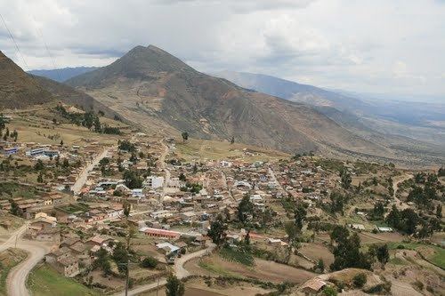 | ||
The Churcampa Province is a province located in the Huancavelica Region of Peru. It is one of the seven that make up that region. The capital of the province is Churcampa.
Contents
Map of Churcampa Province, Peru
Boundaries
Geography
Some of the highest mountains of the province are listed below:
Political division
The province is divided into eleven districts, which are:
Ethnic groups
The people in the province are mainly indigenous citizens of Quechua descent. Quechua is the language which the majority of the population (79.11%) learnt to speak in childhood, 20.46% of the residents started speaking using the Spanish language (2007 Peru Census).
References
Churcampa Province Wikipedia(Text) CC BY-SA