
UBIGEO 1209 Area 1,153 km² Region Junín Region | Elevation 3,263 m (10,705 ft) Website www.munichupaca.gob.pe | |
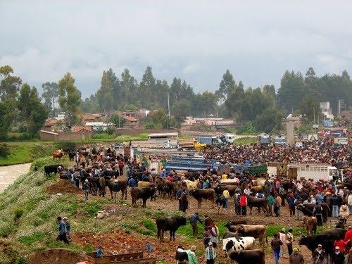 | ||
Chupaca Province, located in Central Peru, is one of the nine provinces that compose the Junín Region, bordering to the north with the Concepción Province, to the east with the Huancayo Province, to the south with the Huancavelica Region and to the west with the Lima Region. The province has a population of approximately 57,000 inhabitants, and the capital is Chupaca.
Contents
- Map of Chupaca Province Peru
- Geography
- Political division
- Places of interest and importance
- History
- References
Map of Chupaca Province, Peru
Geography
Chupaca is located 297 kilometers [km] (185 mi) from Lima and has a temperate and dry climate. Located within the province is the lake Ñawinpukyu 15 km (9.3 mi) west of the city Huancayo, with surface water spanning 7 hectares (17 acres), where the breeding of trout, mule trips and boating occur.
Political division
The province is divided into nine districts (with main towns).
Places of interest and importance
History
Furthest back in the known history of the Chupaca Province the Arwaturu tribe located alongside the lake named Ñawinpukyu constructed buildings from stone and mud that aligned to the north and to the south in such a way that they received all the rays from the sun.
Low the Chongos; a town 20 kilometers (12 mi) south of Huancayo has a church dating back to 1540 with altars carved in baroque style.