
Country Area 319.4 km² District Huancayo Mayor Dimas Aliaga Castro | Elevation 3,259 m Region Junin Founded 1 June 1572 Population 323,054 (2007) | |
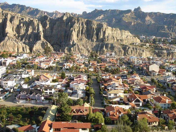 | ||
Map of Huancayo
Huancayo ([waŋˈkaʝo]; in Wanka Quechua: Wankayuq [wɐŋˈkæjuː], '(place) with a (sacred) rock') is the capital of Junín Region, in the central highlands of Peru.
Contents
- Map of Huancayo
- Sanctuary of warivilca best archaeological sites in huancayo
- Huancayo tourist information junin peru
- Location
- Pre Columbian era
- Colonial era
- Republican era
- Recent situation
- Demographics
- Transport
- Local universities
- Branches of other Peruvian universities
- Language institutes
- Notable people
- References
Sanctuary of warivilca best archaeological sites in huancayo
Huancayo tourist information junin peru
Location
Huancayo is located in Huancayo Province, of which it is also the capital. Situated in the Mantaro Valley at an altitude of 3,271 meters, it belongs to the Quechua region. Depending on delimitation, the agglomeration has a population between 340,000 and 380,000 and is the fifth most populous city of the country. Huancayo is the cultural and commercial center of the whole central Peruvian Andes area.
Pre-Columbian era
The area was originally inhabited by the Huancas. At around 500 BC, they were incorporated into the Wari Empire. Despite efforts to defend its independence, the Huancas were eventually subdued by the Inca leader Pachacutec in 1460 and the region was incorporated into the Inca empire. It subsequently became a notable stopping point along the Inca Camino Real.
Colonial era
After the Spanish colonization (1534), Huancayo was overshadowed by Jauja, 45 km to the north, which the conquistador Francisco Pizarro established as a provisional capital of Peru until Lima took over that role. In 1570, the viceroy Francisco de Toledo established the site as the center of his encomienda Guancayo. The town was officially established on 1 June 1572 with the title of Santísima Trinidad de Huancayo. In 1813, Huancayo celebrated the promulgation of the Constitution of Cadiz, changing the name of the "Plaza del Comercio" to "Plaza de la Constitución".
Republican era
During the war for independence, Huancayo was liberated on 20 November 1820. Construction on the cathedral commenced in 1831. In 1854, when Peru officially ended slavery, the accord was made law in Huancayo. There is a statue in the Plaza Constitución commemorating this.
Recent situation
Today, in addition to its importance as a center of commerce, Huancayo is known for the crafts and the many festivals of the surrounding towns. Having rapidly expanded in recent decades, it has few remaining colonial buildings; the cityscape is dominated by modern construction.
Demographics
According to the national Census of 2007, the three main districts of Huancayo have a total population of about 340,000. However, the continuous settlement area already reaches periurban districts. Hence, the agglomeration's population reaches at least 380,000 people. Amerindian and Mestizos (Amerindian and Spanish ancestry) are the two largest ethnic groups in the city. Asian (mainly descendants of Japanese and Chinese immigrants) and European descendants are important minority groups.
Transport
Huancayo has transportation connections by air, road and rail. First, the Francisco Carle Airport at Jauja offers daily connections to Lima. Second, the Carretera Central links Huancayo with La Oroya and Lima by road. Third, the Ferrocarril Central Andino enables transport by rail. Huancayo was a break-of-gauge from 914 mm (3 ft) gauge to 1,435 mm (4 ft 8 1⁄2 in) gauge; for the 147 km extension to Huancavelica. In 2009, this line was being standardised. A light rail is currently under construction and expected to start operation in 2013.