
Founded May 2, 1854 Time zone PET (UTC-5) Area 143.2 km² | Region Puno UBIGEO 210206 Elevation 3,840 m | |
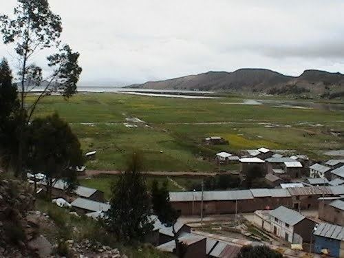 | ||
Chupa District is one of fifteen districts of the province Azángaro in Peru.
Contents
Map of Chupa District, Peru
Ethnic groups
The people in the district are mainly indigenous citizens of Quechua descent. Quechua is the language which the majority of the population (94.41%) learnt to speak in childhood, 5.15% of the residents started speaking using the Spanish language (2007 Peru Census).
References
Chupa District Wikipedia(Text) CC BY-SA