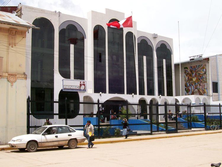
UBIGEO 2102 | Elevation 3,850 m (12,630 ft) Area 4,970 km² Region Puno Region | |
 | ||
Website www.muniazangaro.gob.pe | ||
Azángaro Province is a province of the Puno Region in Peru.
Contents
Map of Az%C3%A1ngaro Province, Peru
Languages
According to the 2007 census, Quechua was spoken by 81.0% of the population as their first language, while 18.4% spoke Spanish, 0.3% spoke Aymara, 0.0% spoke Asháninka, 0.1% spoke other indigenous languages and 0.0% spoke foreign languages.
Political division
The province measures 4,970.01 square kilometres (1,918.93 sq mi) and is divided into fifteen districts:
Geography
Some of the highest mountains of the province are listed below:
References
Azángaro Province Wikipedia(Text) CC BY-SA
