
Primary inflows Max. depth 33 metres (108 ft) Area 21.5 km² | Surface elevation 4,517 m | |
 | ||
Surface area 21.5 square kilometres (8.3 sq mi) Similar | ||
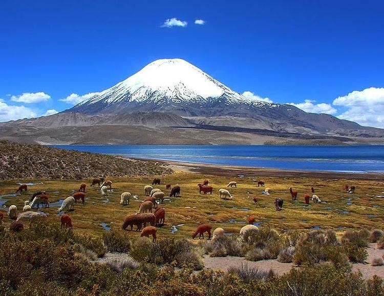
Chungará (hispanicized spelling of Aymara chunkara "pointed mountain") is a lake situated in the extreme north of Chile, in the Altiplano of Arica y Parinacota Region in the Lauca National Park. It is the 31st highest lake in the world (and the 12th highest in South America). It is near the volcanos Parinacota (20,827 ft or 6,348 m) and Pomerape (20,413 ft or 6,222 m). It was formed 8000 years ago, when a major collapse of the edifice of Parinacota produced an avalanche of 6 km³ of debris which blocked drainage pattern, thus creating the lake.
Map of Chungar%C3%A1 Lake, Putre, Arica y Parinacota Region, Chile
The pencil catfish Trichomycterus chungarensis and the pupfish Orestias chungarensis are endemic to the lake basin.
References
Chungará Lake Wikipedia(Text) CC BY-SA