
Elevation 2,707 m | Easiest route From Chrüzlipass Prominence 222 m | |
 | ||
Translation Small Cross (as a diminutive) Stem (Swiss German) Similar Piz Giuv, Piz Nair, Piz Borel, Rotsandnollen, Oberalpstock | ||
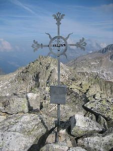
The Chrüzlistock is a mountain of the Glarus Alps, located north of Sedrun on the border between the Swiss canton of Graubünden and Uri. The southern unnamed summit has an elevation of 2,717 metres (8,914 ft) and the northern summit, which is the named peak and is located on the cantonal border, has an elevation of 2,709 metres (8,888 ft).
Map of Chr%C3%BCzlistock, 7187 Tujetsch, Switzerland
It derives its name from the historic pass at its northeastern hillside, the Chrüzlipass.
The Chrüzlistock is, along with Piz Vatgira and Pizzo dell'Uomo, one of the main peaks traversed by the Gotthard Base Tunnel. The tunnel runs below the summit Chrüzlistock, or more precisely, just east of it.
References
Chrüzlistock Wikipedia(Text) CC BY-SA