
 | ||
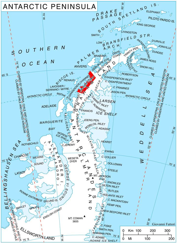
Chorul Peninsula (Bulgarian: полуостров Чорул, ‘Poluostrov Chorul’ po-lu-'os-trov 'cho-rul) is the predominantly ice-covered 5.6 km wide peninsula projecting from Graham Coast, Antarctic Peninsula 5.6 km westwards into Beascochea Bay, and ending in Holst Point. Its shape was enhanced as a result of the adjacent Funk Glacier retreating during the last decade of 20th century and the first decade of 21st century.
Contents
The feature is named after the settlement of Chorul in Western Bulgaria.
Location
Chorul Peninsula is centred at 65°33′00″S 63°45′10″W. British mapping in 1976.
Maps
References
Chorul Peninsula Wikipedia(Text) CC BY-SA