
 | ||
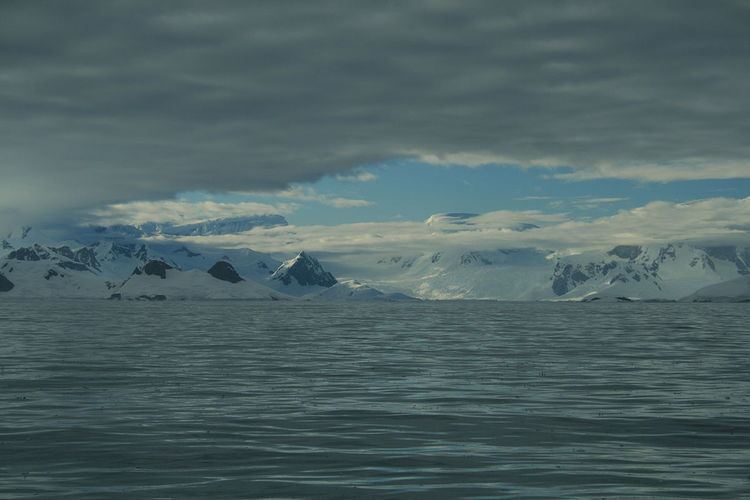
Beascochea Bay (65°30′S 64°0′W) is a bay, 10 nautical miles (19 km) long and 5 nautical miles (9 km) wide, indenting the Graham Coast of Graham Land, Antarctica, between Kiev Peninsula and Barison Peninsula, and entered south of Cape Perez. The glaciers Lever, Funk, Cadman, Talev and Butamya feed the bay.
It was discovered but incompletely defined by the Belgian Antarctic Expedition, 1897–99; was resighted by the French Antarctic Expedition, 1903–05, and named by Jean-Baptiste Charcot for Commander Beascochea, Argentine Navy. The bay was then more accurately charted by the British Graham Land Expedition, 1934–37.
Maps
References
Beascochea Bay Wikipedia(Text) CC BY-SA