
PIN 673106 Population 35,437 (2001) Area code 0496 | Time zone IST (UTC+5:30) Telephone code 0496 Local time Monday 8:47 AM | |
 | ||
Weather 28°C, Wind SE at 6 km/h, 83% Humidity | ||
Chorode is a village in Kozhikode district in the state of Kerala, India.
Contents
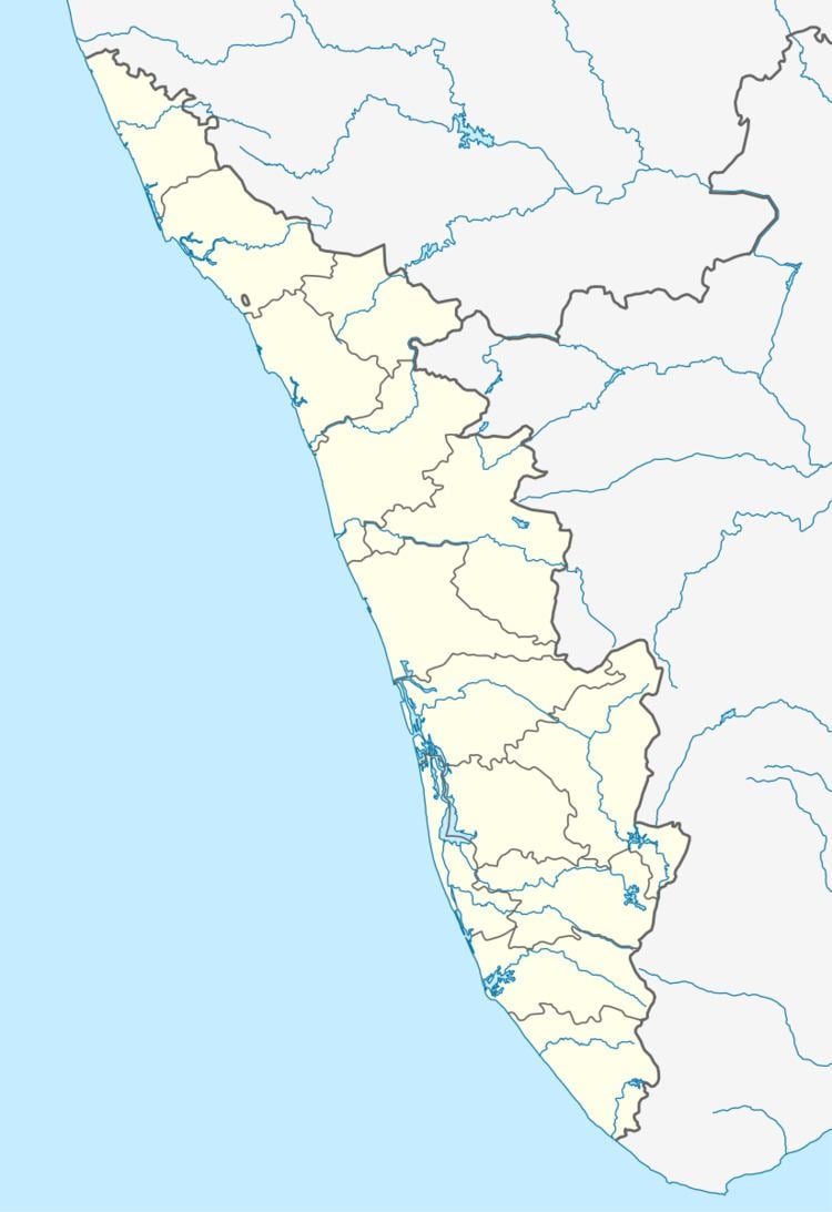
Map of Chorode, Kerala
Demographics
As of 2001 India census, Chorode had a population of 35437 with 17019 males and 18418 females. This is situated nearly 3 km away from Vatakara town which is in Kozhikode district and around 18 km away from Thalassery town.
Transportation
National Highway 17 (NH-17) is passing through chorode and there is an overbridge built for this road at its intersection with the railway track. Before the exisistance of the overbridge that locality was known as 'chorode gate' as there was a manned railway level crossing (i.e. railway gate).
Major Establishments/organizations
References
Chorode Wikipedia(Text) CC BY-SA