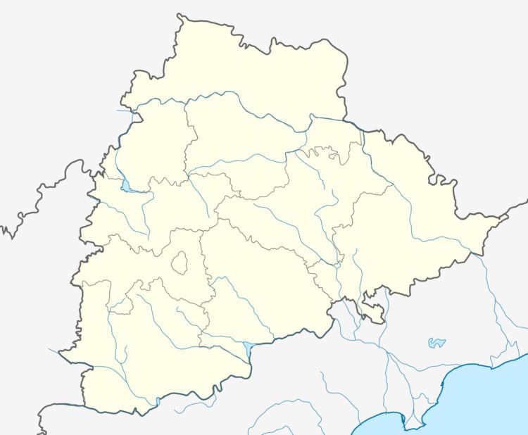
District Karimnagar Time zone IST (UTC+5:30) Elevation 304 m | Talukas Choppadandi PIN 505415 Local time Monday 7:17 AM | |
 | ||
Weather 24°C, Wind SE at 2 km/h, 80% Humidity Neighborhoods Jyothi Nagar, Mahesh Nager, Indira Nagar, Sainagar | ||
Choppadandi is a village in Karimnagar district in the state of Telangana in India.
Contents
Map of Choppadandi, Telangana 505415
Geography
Chopadandi is located at 18.5833°N 79.1667°E / 18.5833; 79.1667. It has an average elevation of 304 meters (1000 feet). It is located 19 km towards North from District headquarters Karimnagar. The Shiva Keshava temple located in the village is famous.Choppadandi consist of 23 Villages and 15 Panchayats . Konerupalle is the smallest Village and Choppadandi is the biggest Village. It is one of largest cotton- and chili- producing mandals in Telangana.
Zilla Praja Parishad High School. Navoday highschool is also there in Chopppadandi.
Banks In Choppadandi: Andhrabank, Choppadandi. Deccan Grameena Bank,Choppadandi. Union Bank Of India, Choppadandi. State Bank of India, Choppadandi. ( Ifsc Code : UBIN0532827,
