
Founded 1825 | ||
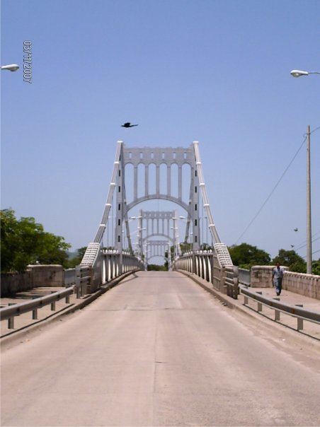 | ||
Points of interest Iglesia Catedral, Las Playas de Cedeño University Universidad Católica de Honduras, Dios Espiritu Santo | ||
Choluteca is one of the 18 departments (departamentos) into which Honduras is divided. It is the southernmost department of Honduras, bordering the Gulf of Fonseca to the west and the Republic of Nicaragua to the east and south.
Contents
- Map of Choluteca Department Honduras
- Municipalities
- Deputies
- 2006 2010 congressional period
- 2010 2014 congressional period
- Economy
- References
Map of Choluteca Department, Honduras
The departmental capital is city of Choluteca. There is also a river named Choluteca that runs through the department.
The department covers a total surface area of 4,211 km² and, in 2005, had an estimated population of 420,350 people.
Choluteca department was formed in 1825 as one of the original departments of post-colonial Honduras. It took its current form in 1893 when Valle department was formed out of the westernmost portion of the department.
Municipalities
- Apacilagua
- Choluteca
- Concepción de María
- Duyure
- El Corpus
- El Triunfo
- Marcovia
- Morolica
- Namasigue
- Orocuina
- Pespire
- San Antonio de Flores
- San Isidro
- San José
- San Marcos de Colón
- Santa Ana de Yusguare
Deputies
The Choluteca Department has a number of 9 deputies elected for the National Congress.
2006-2010 congressional period
{*Deceased before the period ended. His substitute continue his charge until the end of the period.}
{** Since June 28, 2009 until the end of the congressional period}
2010-2014 congressional period
{*Mauricio Oliva was Vice-President of the National Congress during the second half of the 2010-2014 congressional term.}
Economy
The department is, historically, a prominent producer of gold, silver, and copper. The region also had a cattle industry.