
Area 99.64 km² | Capital Chocholá | |
 | ||
Chochola
Chocholá Municipality is one of 106 municipalities in the Mexican state of Yucatan. It is located in the western part of the state, about 21 kilometers southwest of the city of Merida. The name is said to mean "brackish water".
Contents
- Chochola
- M nika dur n en el festival de las madres en chochol yucat n
- Adjacent municipalities
- Water and land
- Points of interest
- Events and festivities
- Government
- References
M nika dur n en el festival de las madres en chochol yucat n
Adjacent municipalities
The municipality is bordered on the south by Kopomá, and on the west by Samahil and Maxcanú. To the north and east lies Umán and Samahil also shares a part of the northern boundary.
Water and land
The terrain is flat and rocky. Primary use is for grazing, agriculture and forestry. Water sources are underground and include six cenotes. The climate is sub-humid with rain falling primarily between the months of May and July. The average rainfall is 1200 mm. The average annual temperature is 26.8 °C.
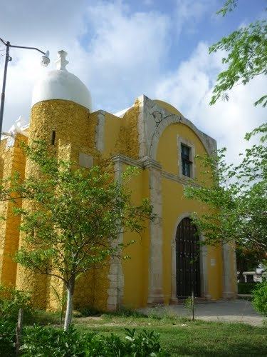
Points of interest
Events and festivities
Government
Elections are held every three years, when the mayor and his cabinet are chosen. There are fifteen localities in the municipality; the most important are: Chocholá (cabecera municipal), San Antonio Chablé, El Roble, Tch'een-Men, El Limonar, Doroteo Arango, Misko, San Luis Dos, Santa María, Xamán Ek and San Luis Cuatro.