
Country Chile Time zone CLT (UTC-4) Website Government of Choapo | Area code(s) 56 + 53 Area 10,132 km² | |
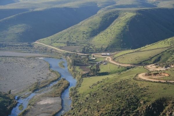 | ||
Pichidangui los vilos choapa province coquimbo region chile south america
Choapa Province is one of the provinces making up the Coquimbo Region of Chile. It has an area of 10,079.8 km² and a population of 81,681. The capital of the province is the town of Illapel. The current governor is Gisella Mateluna Gambo.
Contents
- Pichidangui los vilos choapa province coquimbo region chile south america
- Map of Choapa Province Coquimbo Region Chile
- Geography and demography
- Choapa Valley wine region
- Grape distribution by varietal
- References
Map of Choapa Province, Coquimbo Region, Chile
The province is divided into four communes (comunas) administered by four municipalities:
Pichidangui los vilos choapa province coquimbo region chile south america
Geography and demography
According to the 2002 census by the National Statistics Institute (INE), the province spans an area of 10,131.6 km2 (3,912 sq mi) and had a population of 81,681 inhabitants (41,578 men and 40,103 women), giving it a population density of 8.1/km2 (21/sq mi). Between the 1992 and 2002 censuses, the population grew by 4.6% (3,603 persons).
Choapa Valley wine region
The Choapa Valley is located 400 km (250 mi) north of Santiago, in the southern part of the Region of Coquimbo, and is named after the province of “Choapa”.
This area is within the narrowest part of Chile, where the Andes meet the Coastal range. The small valley consists of two sectors, Illapel and Salamanca. There are no wineries in any of these sectors, but vines planted on the rocky, foothill soils produce small quantities of high quality Syrah and Cabernet Sauvignon grapes with high acidity and low pH, which is increasing the interest for the area among many wine producers. Only one brand of wine, De Martino Syrah, currently holds the D.O. of “Choapa Valley”.