
Country United States Time zone MST (no DST) (UTC-7) Elevation 1,226 m Local time Sunday 12:24 PM | Founded 1863 ZIP code 86431 Population 352 (2000) | |
 | ||
Weather 14°C, Wind S at 37 km/h, 16% Humidity | ||
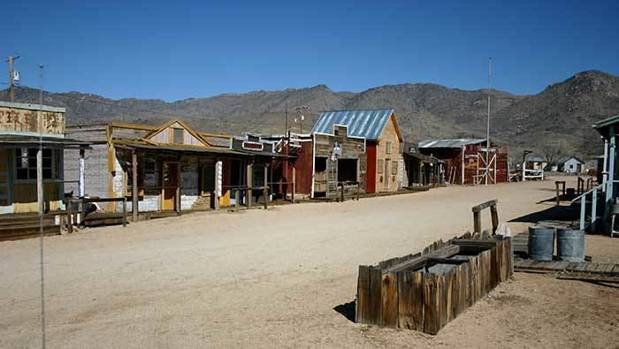
Chloride is a onetime silver mining camp in Mohave County, Arizona, and is considered the oldest continuously inhabited mining town in the state. Chloride has a ZIP Code of 86431; in 2000, the population of the 86431 ZCTA was 352.
Contents
Map of Chloride, AZ 86431, USA
Chloride is located on the southwest flank of the Cerbat Mountains northwest of Kingman, Arizona. Grasshopper Junction is four miles to the west on US Route 93.
History
Prospectors first located mineral resources in the area in the 1840s, including silver, gold, lead, zinc, and turquoise. Chloride was founded about 1863, but mining was not widespread until the 1870s after a treaty was signed with the Hualapai Indians. The railway from Kingman, called the Arizona and Utah Railway, was inaugurated on August 16, 1899 - the last silver spike was driven by Miss May Krider. The town eventually grew to a peak of around 5,000 inhabitants, and at one time Chloride was the county seat. By 1917 the population had fallen to 2,000, and by 1944 it was nearly a ghost town.
American author Louis L'Amour visited Chloride sometime between 1927 and 1929 after the Weepah, Nevada goldrush, where he had bought, and then sold, a claim for $50. During his visit the town of Chloride caught fire. L'amour assisted the town citizens in a bucket brigade that ultimately failed to stop most of the town from burning to the ground.
Climate
According to the Köppen Climate Classification system, Chloride has a cold desert climate, abbreviated "BWk" on climate maps.