
Country Japan Phone number 0566-83-1111 Population 71,142 (1 Aug 2016) | Area 16.31 km² Local time Monday 1:24 AM | |
 | ||
Weather 8°C, Wind N at 6 km/h, 91% Humidity Points of interest Chiryū Shrine, Muryōju‑ji Temple, Chiryū Park, Shinchi Park, Chiryushi Rekishiminzoku Museum | ||
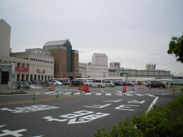
Chiryū (知立市, Chiryū-shi) is a city located in central Aichi Prefecture, Japan.
Contents
- Map of Chiryu Aichi Prefecture Japan
- Geography
- Neighboring municipalities
- History
- Economy
- Education
- Railway
- Highway
- Local attractions
- Sister cities
- Noted people from Chiry
- References
Map of Chiryu, Aichi Prefecture, Japan
As of August 1, 2016, the city had an estimated population of 71,142 and a population density of 4,361.86 persons per km². The total area was 16.31 square kilometres (6.30 sq mi).
Geography
Chiryū is situated in central Aichi Prefecture.
Neighboring municipalities
History
“Chiryū” as a local place name appears in documents in the Nara period. During the Edo period, the area prospered as Chiryū-juku, one of the post stations on the Tōkaidō connecting Edo with Kyoto. The town was noted for its horse trading fairs. Part of the present day city were under the control of Kariya Domain, a feudal han under the Tokugawa shogunate.
After the Meiji restoration, Chiryū Town was created within Hekikai District, Aichi Prefecture on October 1, 1889. It attained city status on December 1, 1970.
Economy
The economy of Chiryū is industrial, with automotive parts and automotive electronics manufacturing predominating.
Education
Chiryū has seven elementary schools, three middle schools and two high schools.
Railway
Highway
Local attractions
The Kikatsubata is the prefectural flower of Aichi prefecture as well as of Chiryū City. Each year at the end of April a festival is held in the temple garden as a celebration of the flowering.