
Country India Languages spoken Hindi, Chhattisgarhi | State Chhattisgarh District koriya Mayor K domroo reddy | |
Chirmiri is a hill station and a Municipal Corporation in the Koriya district of the state of Chhattisgarh, India.
Contents
Map of Chirmiri
Chirmirisinging birds flv
Geography
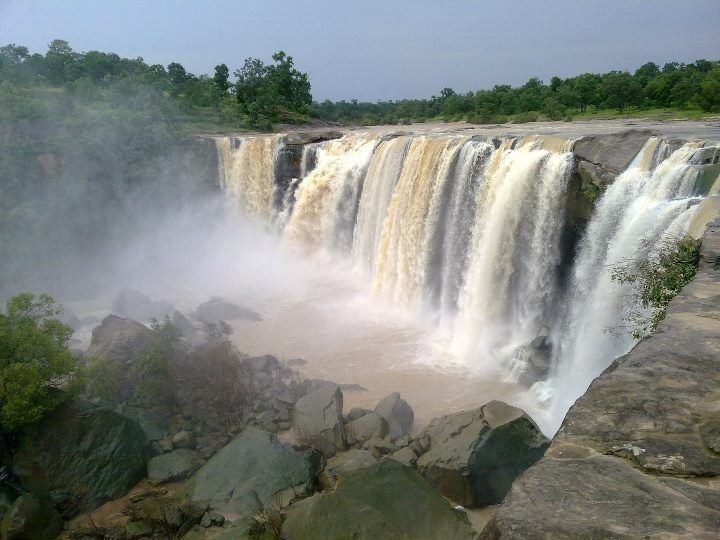
Chirmiri is a very beautiful hill station and green city.Chirmiri is one of the Chhattisgarh cities located in the Koriya district of the state of Chhattisgarh. The region is renowned for the coalmines that are situated in the town. Chirmiri has earned the position of being the second largest Crane in the continent of Asia. The religiosity of the people of the city of Chirmiri is reflected in the temples constructed in the region.
The city of Chirmiri is located in the geographical coordinates of 23 degrees 11 minutes and 60 seconds north latitude and 82 degrees 20 minutes and 60 seconds east longitude. The total population of the city stands at 93,366 people. The total population is segmented into 49,128 males and 44,238 females. The town has achieved a high literacy rate with 61,280 total literates in the town. The number of male literates is more than the female literates in the town. As compared to the female literate count of 24,640, the number of male literates is 36,640.
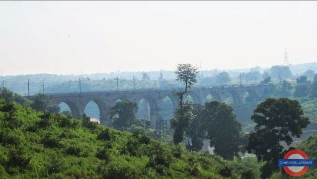
The town of Chirmiri is rich in the coal deposits found in the region. The coal industrial belt has developed in the region owing to the close proximity of the coalmines. The most reputed government undertaking and the largest coal producing industry in India, the South Eastern Coalfields Limited is located in the region. Chirmiri is one of the 13 administrative areas of the coal industry.
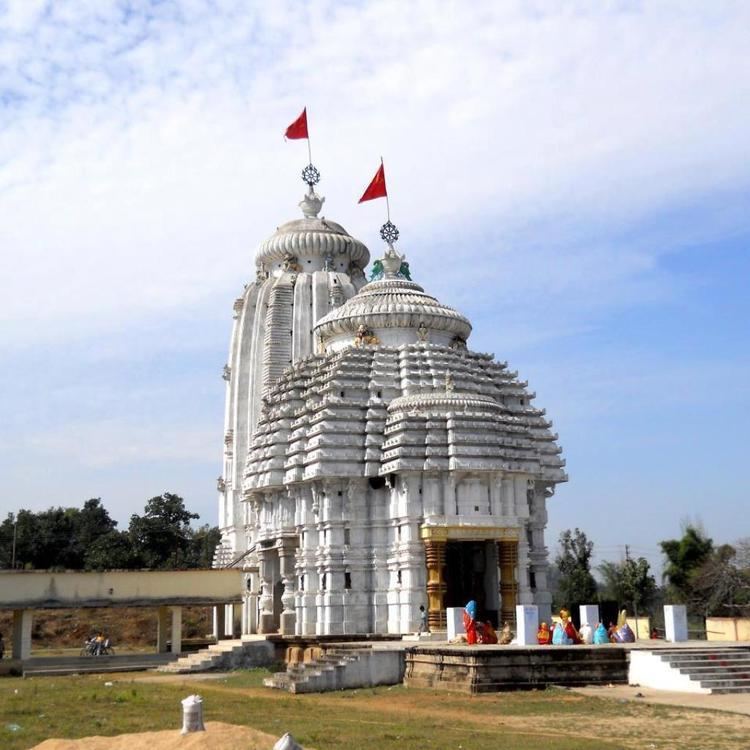
One of the chief tourist attractions of the region is the Lord Jagannath Temple that was designed like the temple in Puri in the state of Orissa. The town of Chirmiri is endowed with beautiful landscape that the tourists may enjoy while journeying to the town.
History
Tata Iron and Steel Company initiated prospecting of coal but no mining was carried out by them. The Chirimiri colliery was opened in 1930 (production started in 1932), New Chirimiri colliery came up in 1942, Pure Chirimiri colliery in 1945, and North Chirimiri colliery in 1946. Subsequently, New Chirimiri Pondi Hills, West Chirimiri, Duman Hill and Korea collieries started operating. Coal production rose from 264,000 tonnes in 1933 to 3,162,500 tonnes in 1980.
The collieries in Chirimiri Coalfield were owned by several companies and owners such as Chirimiri Colliery Company Pvt. Ltd., Dababhoys New Chirimiri Ponri Hill Company (Private) Limited, United Collieries Limited, K.N. Dhady and Indra Singh & Sons (Private) Limited. These were nationalized in 1973.
Economy
Chirmiri is well known for its coal mines (see Chirimiri Coalfield); mining began here in 1925. Chirmiri has a broad gauge railway link, used primarily to transport coal from the region. The coal industrial belt has developed in the region owing to the close proximity of the coalmines. The largest coal producing industry in India, the South Eastern Coalfields Limited is located in the region. Chirmiri is one of the 13 administrative areas of the coal industry.