
Ciudad de Chirilagua April 29,1901 Area 206.9 km² Local time Sunday 9:54 AM | Elevation 1,050 ft (320 m) Urban area 3.885 km² | |
 | ||
Weather 32°C, Wind NE at 23 km/h, 30% Humidity | ||
Chirilagua is a municipality in Southeastern El Salvador, in the department of San Miguel.
Contents
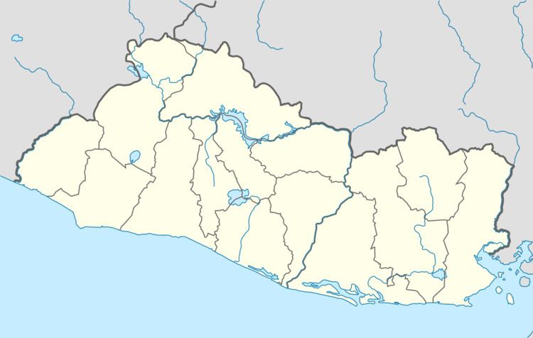
Map of Chirilagua, El Salvador
It contains approximately 24,000 inhabitants as result of census of 2007. The town is located on a mountain plateau adjacent to the Pacific Ocean. There is a lot to do at this town; from eating traditional food, to playing soccer in La plaza or the soccer fields, to just getting a snow cone and walking around. From church to the soccer field, the people in this town enjoy the outdoors a lot. “ La plaza “ which is a center of the town where there are many food places, a turf field, shopping center, grocery store playground, basketball court and just a sitting area to enjoy the surroundings. There are many types of religions in this town but the most popular one is Catholicism. The church is located in the middle of the town beside “ La Plaza”. As traditions every December 12 the catholic community gets together to celebrate the Virgin Mary. La plaza is filled with so many delicious kinds of food,that are pretty cheap. Everyone in this town depend on this place to get all their food and house products. A lot of the people living in this place own their own stores and sale products closer to others, which makes it easier for people. Not only do people in this town enjoy the surrounds of the beautiful beaches of “ El cuco “ but the enjoy the view of the famous volcano “Chaparrastique".
Sports
The local football club is named Club Deportivo Estrellas del Sur and it currently plays in the Salvadoran Third Division.