District Kadapa Time zone IST (UTC+5:30) Local time Sunday 6:39 PM | Talukas Chinnamandem PIN 516214 Area code 08561 | |
 | ||
Weather 34°C, Wind NE at 8 km/h, 34% Humidity Neighborhoods Busstand Colony, Bapanakunta, Sai Nagar, Makka Colony | ||
Chinnamandem is a village in Kadapa district of the Indian state of Andhra Pradesh. It is located in Chinnamandem mandal of Kadapa revenue division.
Contents
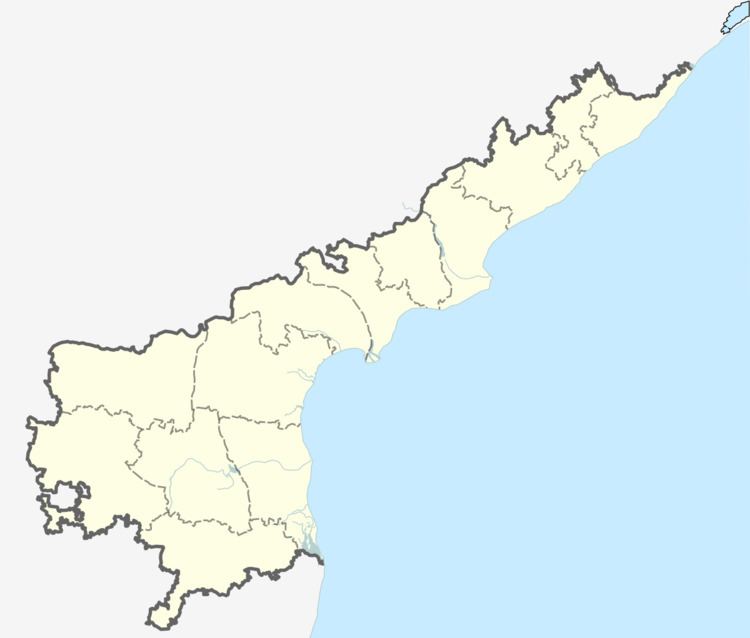
Map of Chinnamandem, Andhra Pradesh 516214
Geography
Chinnamandem has an elevation of 1,502 m (4,928 ft), and is therefore considered a high altitude city. The town is located on the Kadapa to Banglore highway (VIA) Rayachoty (to which Chinnamandem is nearby). Chinnamandem has a 24-hour bus service available. this city is not having train transportation facility. You can find the Chittor (DT) border very near to this city.This city is located near the Mandavya river.Chinnamandem Mandal is having a special and smart village named as Kalibanda and there you can find the Chitoor district boarder very soon, distance between these two is 10km. This village is located between chinnamandem and Peddamandam.
Crops: In this most of the former's are like to produce Tomato,Rice,Ground nuts, etc. Agriculture products.
